The Hooch
A history of the Chattahoochee River
From a Blue Ridge spring to Atlanta’s trout river: the people, mills, dams and fights that made the Hooch.
From the mountains to Atlanta
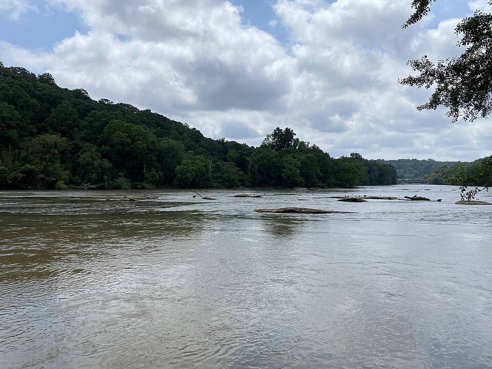
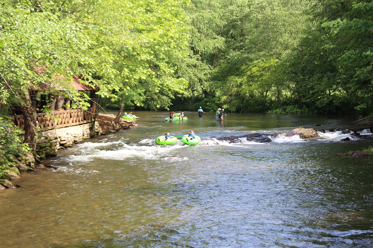
The Chattahoochee rises at Jacks Gap in the Blue Ridge of Union County, about 3,550 feet up, and runs some 430 miles to Lake Seminole, where it meets the Flint to form the Apalachicola. It has been a borderland, a highway, a power source and a water supply for millions. Below Buford Dam, it’s also a trout river running right through a major American city.
Before the 1830s
The marked stone
The river’s name comes from the Muscogee (Creek) language, and the Hooch once ran through the borderland between Creek and Cherokee country.
Standing Peachtree
A Muscogee village at the mouth of Peachtree Creek, on the Creek–Cherokee borderland, is first documented.
A name is written down
U.S. agent Benjamin Hawkins records the Creek name, from words meaning marked or flowered stone.
Land cessions
Creek land cessions in 1821 and 1825 open land along the river to white settlement.
The land lottery
Georgia’s land lottery distributes Cherokee lands in northwest Georgia.
1830s–1870s
Mills, ferries and war
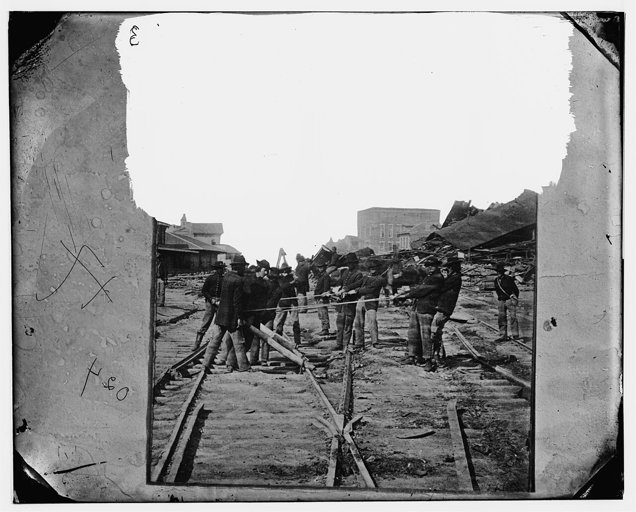
Settlers harnessed the river and its creeks for power, and in the summer of 1864 the Chattahoochee stood between Sherman’s army and Atlanta.
Ferries
Power’s Ferry opens, followed by Montgomery’s Ferry at Standing Peachtree in 1837.
Roswell Manufacturing Co.
The cotton mill company is incorporated, powered by Vickery Creek near the Chattahoochee.
The River Line
Confederate Gen. Joseph Johnston’s army holds a fortified line along the river.
Roswell’s mills destroyed
Union cavalry occupies Roswell and destroys the mills, and Sherman orders about 400 mill workers, mostly women, sent north.
Crossing the Hooch
Union troops secure a crossing at Roswell, and Confederate forces withdraw across the river toward Atlanta.
Song of the Chattahoochee
Poet Sidney Lanier publishes the poem. The lake upstream will one day carry his name.
1902–1958
The dams
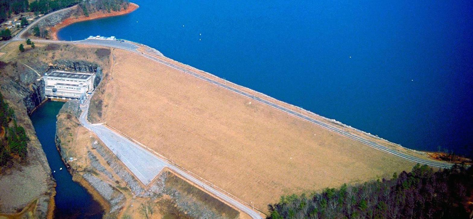
Two dams turned a free-flowing river into a managed one, and the second made the Hooch cold enough for trout.
Morgan Falls Dam
Atlanta Water & Electric Power Co. builds Morgan Falls Dam, creating Bull Sluice Lake.
Buford Dam authorized
Congress authorizes a dam on the Chattahoochee near Buford for flood control, power and navigation.
Groundbreaking
Work begins on a 192-foot-high earth dam.
The gates close
Engineers close the gates and Lake Sidney Lanier begins to fill.
Power on
Buford Dam’s generators come online.
Full pool
Lake Lanier reaches full pool, a year late after a drought slowed the filling.

1960s–2014
Trout come to Atlanta
Water released from deep in Lake Lanier stays cold all year, and it turned the river below Buford Dam into trout water.
First trout
Brown trout are first stocked below Buford Dam as a put-and-take fishery.
A national park
President Jimmy Carter signs the law creating the Chattahoochee River National Recreation Area.
Guardians and guides
Chattahoochee Riverkeeper is founded, and River Through Atlanta starts guiding the Hooch.
Year-round trout
Trout fishing below the dam is open all year.
Room to grow
Congress raises the recreation area’s acreage cap to 10,000 acres.
Orvis-endorsed
River Through Atlanta becomes an Orvis-endorsed guide service.
Wild browns
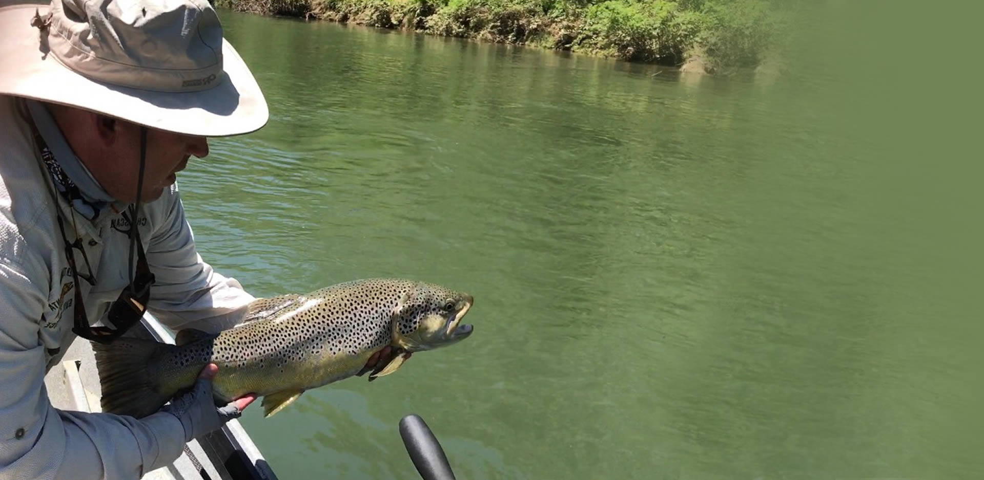
Georgia stops stocking brown trout below the dam. The river’s browns reproduce on their own.
A state record
Chad Doughty lands a 20-pound, 14-ounce brown trout below Buford Dam, still Georgia’s record.
1990–2021
Droughts, floods and water wars
As metro Atlanta grew, so did the fight over the river’s water.
The water wars begin
Alabama sues Georgia and the Corps of Engineers over water from the river system, and Florida soon joins the fight.
Record low
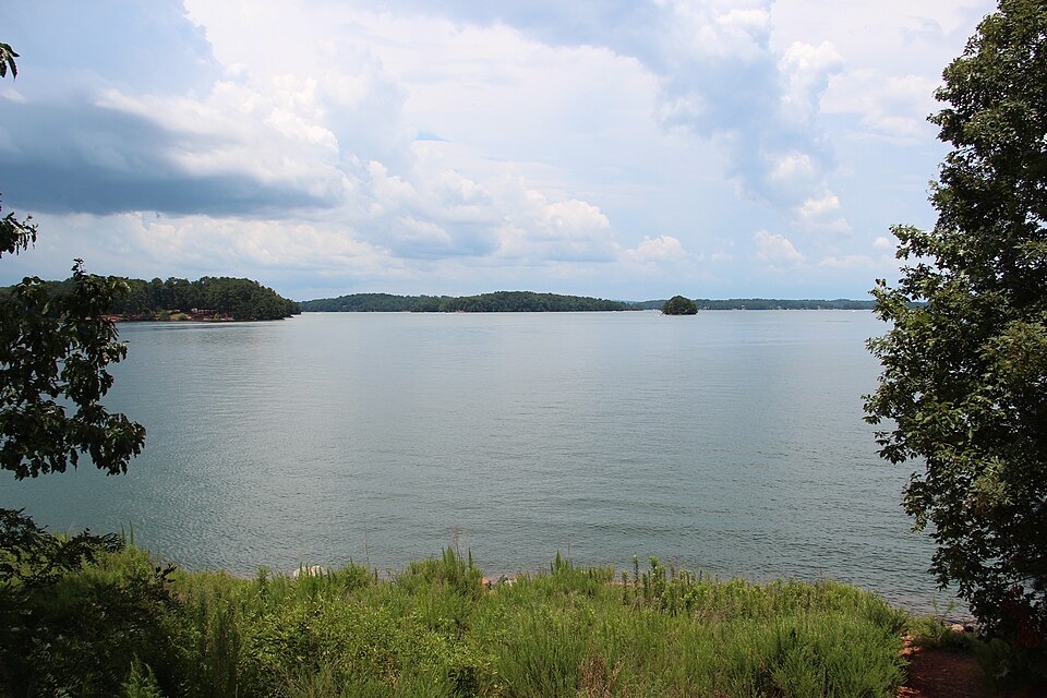
During a severe drought, Lake Lanier falls to a record low of 1,050.79 feet.
In the courts
A federal judge rules against Atlanta’s water withdrawals from Lake Lanier in 2009; an appeals court reverses the ruling in 2011.
The flood
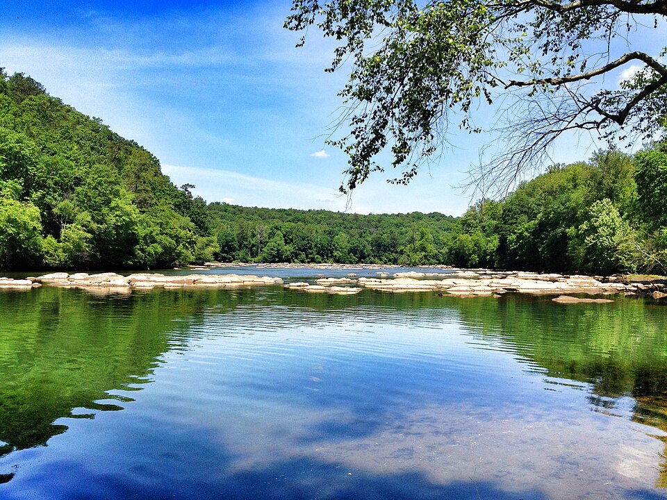
Record rains flood metro Atlanta, and the Chattahoochee at Vinings reaches its highest level in 81 years of records.
The Supreme Court
The Supreme Court rules for Georgia in Florida v. Georgia.
2022–today
The river today
A cleaner, better-protected Hooch, with cold water, wild browns and new protections for both.
Chattahoochee River Act
The act becomes law as part of the Water Resources Development Act of 2022, giving the Corps new authority for water quality and restoration work on the river.
Cleaner water
Atlanta and Chattahoochee Riverkeeper settle a lawsuit over wastewater pollution from the R.M. Clayton treatment plant.
RiverLands
Work advances on the Chattahoochee RiverLands, a planned trail system along the river from Buford Dam to Chattahoochee Bend.
More oxygen for trout
The Corps announces a new Buford Dam procedure that adds aerated releases from mid-to-late July through late November, boosting dissolved oxygen for trout.
From the guides at River Through Atlanta
Now see it for yourself. Spend a day on the river that made Atlanta.
Below Buford Dam, cold water from the bottom of Lake Lanier keeps 48 miles of the Chattahoochee cool enough for trout all year. It’s western-style fly fishing from a drift boat, for rainbows and wild browns, right through Atlanta. Our Orvis-endorsed guides have fished it since 1994, and beginners are welcome.
Sources & photo credits
New Georgia Encyclopedia: Chattahoochee River · NGE: Roswell · NGE: Deportation of Roswell mill women · NGE: Atlanta Campaign · NPS: Morgan Falls Dam · NPS: Buford Dam · 1956 Army Engineers announcement (Georgia Historic Newspapers) · Lake Lanier · Buford Dam · Standing Peachtree · Chattahoochee River NRA · SEAFWA: Wild brown trout in the Chattahoochee · Georgia DNR: Chattahoochee trout fishery · Public Law 106-154 · Georgia state record fish list · Tri-state water dispute · USGS: September 2009 floods · Florida v. Georgia (2021) · Sen. Ossoff: Chattahoochee River Act · Chattahoochee Riverkeeper · Riverkeeper: Atlanta settlement · Hoodline: RiverLands · USACE: Buford Dam oxygen releases.
Photo: Thomson200 (CC0), via Wikimedia Commons (hero) · The upper Chattahoochee River at Helen, Georgia: Michael Rivera (CC BY-SA 4.0), via Wikimedia Commons · Sherman’s men tearing up railroad track in Atlanta, 1864: Barnard, George N. (public domain), Library of Congress · Buford Dam and Lake Lanier from the air: U.S. Army Corps of Engineers (public domain) · Anglers holding a big golden brown trout on the Chattahoochee: River Through Atlanta · Lake Lanier shoreline: Thomson200 (CC0), via Wikimedia Commons · Chattahoochee River at East Palisades: Keizers (CC BY-SA 3.0), via Wikimedia Commons.